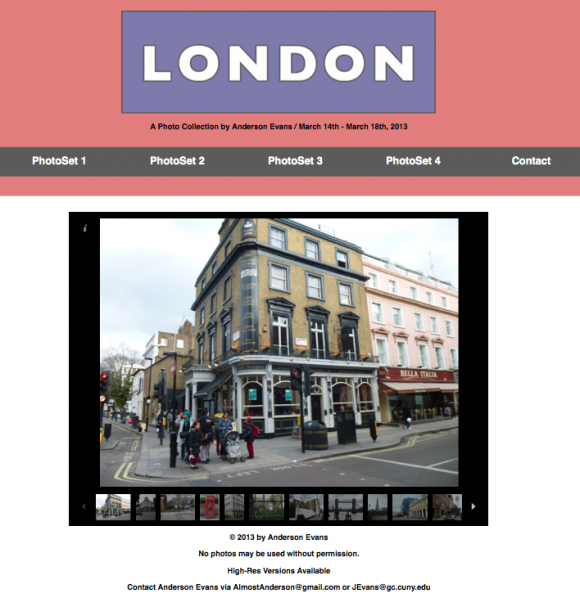
Just before spring break I went to London (great timing, I know). While I was there I took a lot of pictures and made a webpage with which to display them. I used JavaScript and some basic HTML/CSS to build the page, these are not necessarily the DH Methods we have been looking at, I think such methods are relevant to the DH crowd. I contend that any basic HTML use, simple or hard, should be practiced regularly. If one wants to be able to really have control over how one displays his or her DH work, CMSes (while time-saving) are not always the answer.
London Photos:
http://www.weekendpublisher.com/LondonPhotos/photos2.html
The JavaScript slider I utilized for the display can be found here. It is a great slider, and if you are using an iPad or tablet you can easily full screen the display:
http://www.scriptiny.com/2008/12/javascript-slideshow/
This week’s assigned tasks were based around further exploration of Spatial Analysis. I’m hoping that use of examined GeoSoftware, and the revisitation of mapping software we used earlier in the semester can get me to a point where I am comfortable using my higher-res copies of the photographs. I’m certain these techniques will lend themselves to building a more dynamic website that gives an idea geographically as to where exactly each one of the photographed locations can be found.


